Border Surveillance & Gap Filling
The defense surveillance gap.
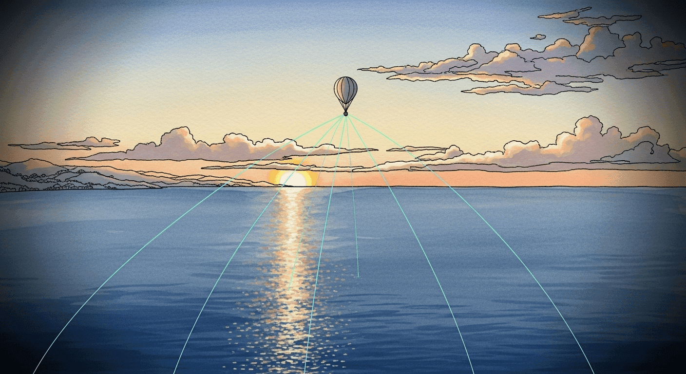
Mobile aerostat systems provide persistent surveillance and tactical communications for defense operations
Surveillance Zones
Loading coverage map…
Persistent Coverage
24/7 surveillance capability with tethered platform stability
Extended Horizon
80-120km radar and communication range from elevated position
Rapid Deployment
Operational in under 2 hours, mobile across rugged terrain
Defense Applications
Coastal Defense & EEZ Monitoring
Border Surveillance & Gap Filling
Coastal Defense & EEZ Monitoring